Best Halloween Houses in the Triangle - Map and Routes
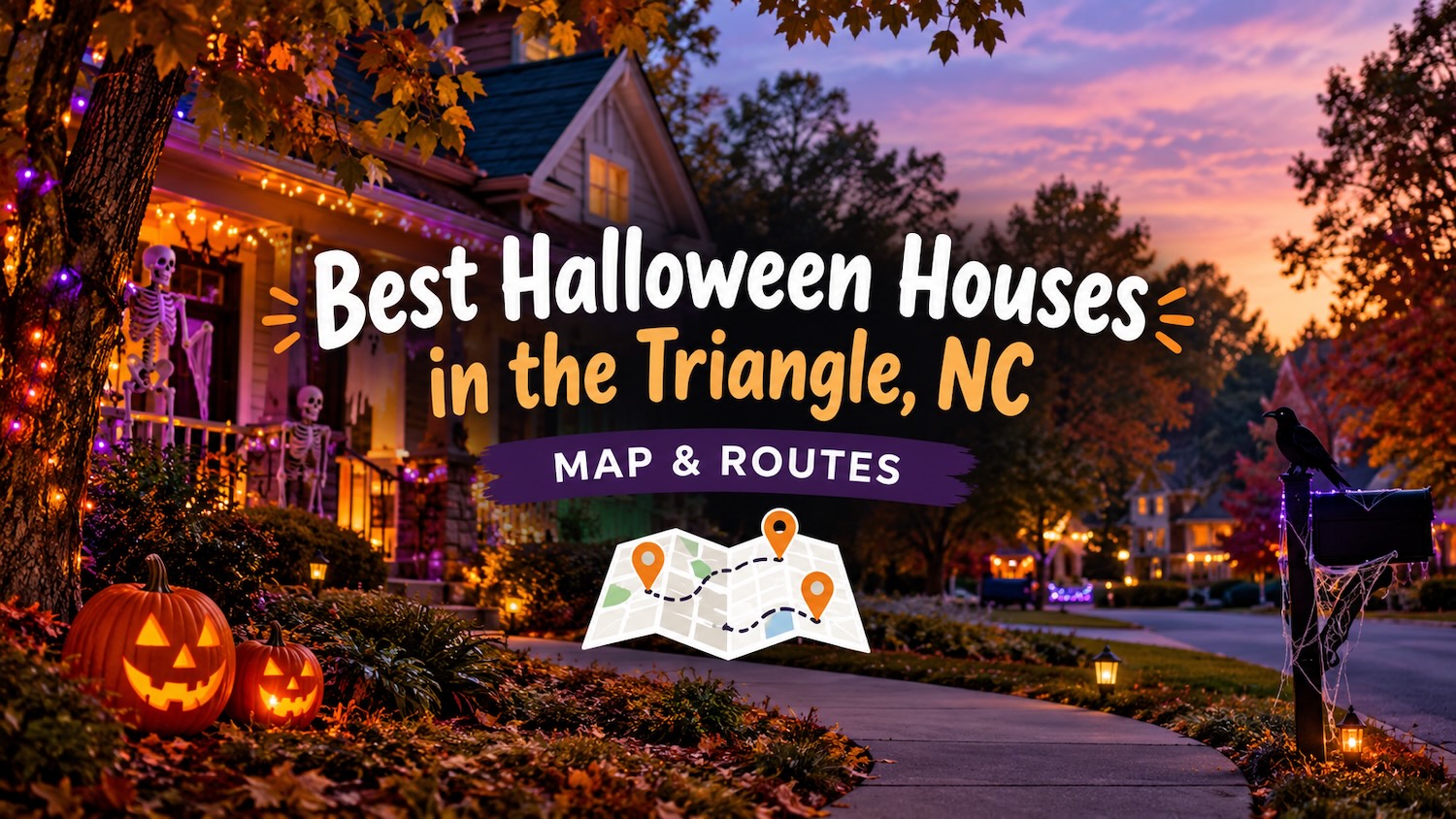
🎃 68 mapped places · 37 route stops + 31 Triangle-wide picks
Every Halloween house and display we mapped, on one interactive map. Three easy driving loops cover 37 decorated homes in Apex and New Hill, and the list also includes the top Halloween streets and standalone displays locals mention most around Raleigh, Cary, Morrisville, Durham, Wake Forest, Chapel Hill and Holly Springs. Filter by city, follow the numbered pins, tap any place for directions, or open a full route in Google Maps for turn-by-turn guidance.
All 68 places on one map
Route stops are circles color-coded by route with their stop number; standalone picks are red squares. Some pins mark a neighborhood or street rather than an exact house — use each card's Google Maps link for the precise search. Map data © OpenStreetMap contributors.
Apex & New Hill · three driving routes
All 37 numbered route stops, grouped by route. Follow each loop in order, starting at #1.
Route 1: Central Apex
11 stops · Central Apex
Start on Knightsborough Way, loop through the Kelder, Henniker and Colony Woods neighborhoods, then head south through Cameron Glen, Dunvegan and Capitata Crossing before finishing on Vatersay Drive.
Route 2: Southwest Apex & New Hill
13 stops · Southwest Apex & New Hill
Start on Pilot Mountain Court, head west through Milano Avenue and out to Regent Pines Drive in New Hill, then work your way north and east through Barn Road, Willow Rock, Duggins Point, the Windy Creek and Evening Star neighborhoods, Sunny Creek, Heathwood Dairy and Big Leaf Loop.
Route 3: Southeast Apex & Downtown
13 stops · Southeast Apex & Downtown Apex
Start on Padstone Drive, wind through the Lexington Farm neighborhood, head southeast to Straywhite Avenue and Pilsley Road, then loop north through Eagles Watch to downtown Apex. Finish through the Edwards Pond, Grappenhall, Applethorn, Homegate, Village Loop and Magdala Place neighborhoods.
Raleigh · 9 picks
From the famous Oakwood Halloween House to neighborhood streets and North Raleigh displays.
Historic Oakwood
Oakwood Avenue, Jones Street and Elm Street are the heart of Raleigh's Halloween scene. Expect heavy foot traffic, elaborate yard displays and a steady stream of trick-or-treaters. Go early or on a weeknight for a calmer walk.
504 Oakwood Avenue
Raleigh's famous "Oakwood Halloween House" covers nearly every inch of the property in elaborate — and sometimes intense — scary themes. It draws thousands of visitors, and the city has recently required the homeowner to coordinate special event permits because of the crowds. Check local updates before you go.
Five Points · Whitaker Mill Road
Five Points is a high-energy trick-or-treating area with festive neighborhood spirit and plenty of full-size candy bars. Whitaker Mill Road is a good place to start.
Boylan Heights
Historic architecture, walkable streets and strong neighborhood-wide participation make Boylan Heights one of Raleigh's best traditional trick-or-treat neighborhoods.
Quail Hollow
A North Raleigh neighborhood frequently recommended by local parents for its flat streets and high concentration of participating homes. The connected streets around Quail Hollow Drive make it easy to cover a lot of ground on foot.
Glascock Street · Bennett Street
East Raleigh neighbors point to the stretch of Glascock Street just west of Raleigh Boulevard, near the Bennett Street corner, for spooky yard displays and an easy, low-key walk. Pair it with a drive through nearby Historic Oakwood if you want a longer outing.
Oakwood Cemetery · Peace Street
Historic Oakwood Cemetery is a tree-shaded walk through Victorian monuments and local ghost lore, and locals regularly suggest it as a downtown Halloween stop. Enter from Oakwood Avenue on the Peace Street side of the neighborhood, and check for seasonal tours, the Dia de Oakwood celebration or other cemetery events before you go.
Oakwood & Mordecai
The blocks linking Historic Oakwood and the Mordecai neighborhood make an easy extension of the Oakwood loop. Mordecai Historic Park — home to the 1785 Mordecai House and its small family cemetery — anchors the area, and nearby streets join in with decorations. Combine it with Oakwood for a longer walk.
Abbey Lane · Stonehenge
North Raleigh's Stonehenge neighborhood is a repeat recommendation for Abbey Lane in particular, where homes go big on lights and yard scenes. Park once and walk the surrounding streets near Lake Lynn and Sleepy Creek for more displays.
Cary · 9 picks
Neighborhood streets and decorated homes across Cary, including Cary Park and downtown.
Frontgate Drive · Cary Park
This West Cary neighborhood is a repeat local recommendation for elaborate Halloween setups and a welcoming, family-friendly atmosphere that draws visitors from across the area. Cary Park is a good base for combining a walk with a short drive to nearby displays.
Haddington Drive · Scottish Hills
Frequently highlighted on r/cary as a standout street for festive yard displays and strong community participation. The surrounding Scottish Hills streets are walkable and easy to combine with a loop through the neighborhood.
Waldo Rood · near Cary Parkway
Recognized for massive, recurring holiday displays — including elaborate pirate-themed skeleton setups that later transition into Christmas. It is one of the more over-the-top single-street displays in the Cary area.
Oxxford Hunt
A walkable west Cary neighborhood near Oxxford Hunt Greenway, mentioned by locals for active participation, decorated yards and easy trick-or-treating.
Coronado Village
A compact, walkable Cary neighborhood that locals mention for festive yards and a steady stream of trick-or-treaters.
Russell Hills
Another central Cary neighborhood recommended for its walkable streets and community-wide Halloween participation.
Pine Valley
A family-friendly Cary neighborhood with connected streets that make it easy to cover a lot of decorated houses on foot.
Lochmere
A large south Cary neighborhood with connected streets and plenty of decorated homes — good for both trick-or-treating and a slow drive to see the lights and props.
Downtown Cary
The streets immediately around downtown Cary stay busy on Halloween evening, with families walking between neighborhoods, parks and nearby events. Expect crowds and plan to park once and walk.
Morrisville · 1 pick
Neighborhood displays just west of Cary, including the busy Kitts Creek community.
Kitts Creek
Known for extensive neighborhood engagement and decorations, though local redditors note it can get very crowded on Halloween night. Go early if you want to walk the streets without the biggest crush of visitors.
Durham · 4 picks
Old North Durham, Trinity Park and North Durham neighborhoods where locals go for Halloween.
University Drive & Cornwallis Road
A frequently recommended r/bullcity stop for creative, evolving yearly displays — past themes have included astronaut skeletons, a UFO and a cow. Treat it as a drive-by or quick-walk add-on rather than a full neighborhood loop.
Trinity Park
Historic, walkable streets near downtown where residents put up festive seasonal displays. Expect steady foot traffic, but turnout can vary wildly block by block — the historic core and streets closest to downtown tend to be busiest.
Monmouth & Dacian Streets
These Old North Durham streets between Glendale and Washington are occasionally coned off for trick-or-treaters and community activity, making them a good family-friendly walk on Halloween night.
Magnolia Creek
A North Durham development recommended for high turnout — locals report close to 150–200 trick-or-treaters. It is a good option if you want a busy, family-heavy stop without heading into the city core.
Wake Forest · 4 picks
The historic downtown stretch plus neighborhood displays and a drive-through light show.
North Main Street · Bonejangles
This historic stretch just outside central Raleigh is frequently recommended for high trick-or-treat turnout and decorated older homes. Look for Bonejangles, a massive year-round skeleton on a tire swing who changes outfits for every holiday — follow @TheRealBoneJangles for his seasonal wardrobe.
Downtown Wake Forest · Boo Bash & Goodies for Goblins
The town's annual Halloween Boo Bash fills downtown with inflatables, games, food trucks and a costume parade, while Goodies for Goblins lets kids trick-or-treat at local shops along South White and Brooks streets. Check the town calendar for the current date, times and road closures.
Wood Family Light Show · Austin Creek
6600 Austin Creek Drive, Wake Forest. This family-run show runs every Friday through Sunday through Halloween, 7–9 PM, with Halloween-themed lights synced to music. The 50-minute program is free to watch from the street; follow Wood Family Light Shows on Facebook for weather and schedule updates.
Hasentree
The Hasentree community off NC 98 comes up often for decorated homes and a family-friendly Halloween feel. It is a gated golf community, so plan to view from the entrance and common streets unless you are visiting a resident.
Chapel Hill · 1 pick
The Franklin Street scene and nearby decorated streets; check town rules and road closures.
Franklin Street & Columbia Street
Chapel Hill's long-standing Halloween gathering is more of an adult and older-kid street scene than a traditional trick-or-treat route. Crowds have been scaled back from historic peaks of 80,000 to around 20,000, with road closures typically around 8:00–9:30 PM on Halloween night. Check the town's event plans before heading out.
Holly Springs · 3 picks
Single-home displays and neighborhood picks south of Apex.
Echo Hills Court Display
213 Echo Hills Ct, Holly Springs, NC 27540. This home features multiple scare scenes, scare actors and animatronics. Admission is free, but a donation of non-perishable food or canned goods for the Hope Community Church Food Pantry is encouraged.
Sunset Oaks · Skeletons for St. Jude
Off Sunset Oaks Drive near the Sunset Lake area, this Holly Springs neighborhood is known for elaborate, evolving displays. Look for the standout "Skeleton Army" home with humorous setups, garage marches and rooftop scenes that grow more detailed each year.
Flagg Road
A well-decorated yard just behind downtown Holly Springs that regularly comes up in regional decorating threads. It's an easy add-on if you're already in the area.
Community-sourced picks: displays, crowds and city rules can change from year to year. Check neighborhood and town updates before you go.
How to use this map
- 🎛️ Filter by city. The chips above the map show every place or narrow the map and list to Apex & New Hill, Raleigh, Cary, Morrisville, Durham, Wake Forest, Chapel Hill or Holly Springs. Reset view brings all 68 back.
- 🔢 Follow the numbers. Route stops are colored circles numbered starting at #1. Route 1 starts at 301 Knightsborough Way, Route 2 at 2118 Pilot Mountain Court, and Route 3 at 1679 Padstone Drive.
- 👆 Tap a pin for the address and a one-tap Directions link, or click any card to focus its pin.
- 🗺️ Want turn-by-turn? Open the full route for the loop you're driving in Google Maps and it will string every stop together.
- 🏙️ Beyond the routes. Red square pins are standalone Triangle streets and displays, not part of a numbered loop. Use each card's Show on map button to focus its pin, or the Google Maps link for the precise search.
- 🌙 Go after dark. Most decorated houses look best once the sun goes down. Please drive slowly, watch for kids, and don't block driveways.
Tips for the drive
- 🗓️ Pick one route per night. Each loop works as its own outing; together they cover 37 houses.
- 🚗 Start at #1 and follow the numbers. All three routes are designed to keep backtracking to a minimum.
- 🕒 Give each route about an hour. That leaves time to park, walk up to the displays and let the kids ooh and aah.
- 🧒 Keep kids close. These are residential streets. Use sidewalks where available, hold hands at driveways and crossings, and stay off lawns unless the homeowners invite you up.
- 📸 Be a good neighbor. Don't block driveways or mailboxes, keep the noise down, and follow any posted signs.
- 🎃 Displays change. Homeowners can add, change or take down decorations at any time. If a house isn't lit, move on to the next stop.
FAQ
Where are these Halloween house routes?
Route 1 is in central Apex, NC, split between the 27502 and 27523 ZIP codes. Route 2 runs through southwest Apex and New Hill, including the 27502, 27523 and 27562 ZIP codes. Route 3 covers southeast Apex and downtown Apex, with stops in the 27502 and 27539 ZIP codes.
Are the Triangle-area streets part of a route?
No. They're standalone neighborhoods and displays worth a trip, but they all appear on the same map and list. The three numbered routes cover the 37 mapped houses in Apex and New Hill; use the city chips to see only the Raleigh, Cary, Morrisville, Durham, Wake Forest, Chapel Hill or Holly Springs picks.
How many places are on the map?
68 in total: 37 numbered stops across three Apex and New Hill driving routes, plus 31 standalone streets and displays around the rest of the Triangle.
How long does each route take?
Each loop is a short drive, but plan on about an hour once you add parking and walking time at each stop.
Can I drive all three routes in one night?
Yes. They are separate loops, so allow three to four hours if you want to see all 37 houses.
Is it free?
Yes. This is a self-guided drive through public residential streets. There is no ticket and no entry fee.
When is the best time to go?
After dark, when the decorations are lit. Weeknights are usually quieter than weekends.
Looking for more Halloween fun? Explore our Halloween events guide, the haunted trails and corn mazes guide, or browse more things to do in the Triangle.